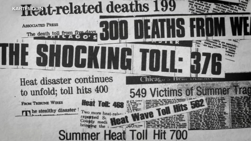
In these days of global pandemics, hurricanes, floods, raging wildfires, and other disasters of seemingly biblical proportions, it can be hard to remember how devastating even a simple heat wave can be — especially when the conditions of poverty, aging, urban air pollution, and failing infrastructure combine, as they did in Chicago 25 years ago. In the summer of 1995, the heat index spiked to more than 126 degrees, leading to the death of more than 700 residents in just one week.
This human-made tragedy is the subject of Cooked: Survival by Zip Code, a new PBS/Independent Lens documentary by Judith Helfand based on Eric Klinenberg’s excellent 2002 book, Heat Wave: A Social Autopsy of Disaster in Chicago. Courtesy Kartemquin Films.
As the film explores, most of the victims were low income, elderly, and Black, and they died alone and isolated — killed more by social neglect, structural racism, and poor planning than the heat itself. For people living on the edge — both physically and economically — access to a reliable electric grid, an air-conditioned library or senior center, or even just a simple crosstown bus can mean the difference between life and death.
At the heart of this analysis is a simple and striking “heat death map,” which uses the basic tools of spatial analysis familiar to most planners to make the case, finding “almost perfect overlaps” between neighborhoods with the most heat-related deaths and those with the highest levels of poverty.
The film is available for streaming. Viewers will also find extensive background and follow-up material on this pressing and oft-ignored challenge.
From Planning Magazine.

